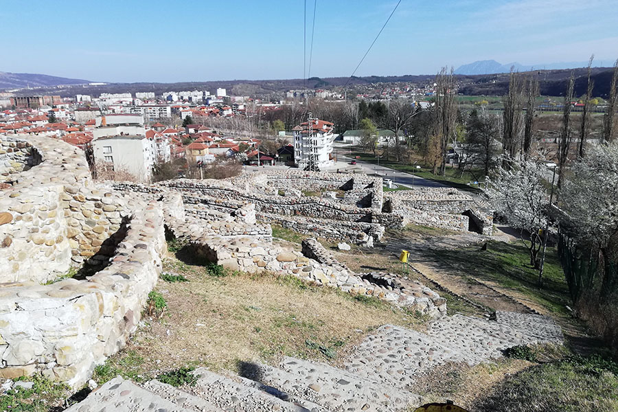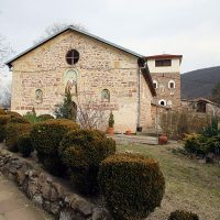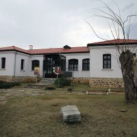


The fortress Castra ad Montanesium is located in the northwestern part of the city, on Kaleto hill. In the area, numerous prehistoric archaeological evidence has been discovered about the first inhabitants of the stone age and the copper age. Later, ancient Thracian tribes lived on the hill until the 1st century BC. From the constructions made by them, there were traces of stone walls, which protected them against the attackers, having a thickness of more than one meter wide. Attracted by the rich deposits of various ores in the area, including gold, located along the Ogosta River, at the end of the first century BC, the place was conquered by the Romans. They gave the name of the city, which comes from the Latin word Mons, meaning mountain. Montana became the center city of the province of Lower Mizia, where there were permanent military troops. The city was linked to trade routes with the rest of the Empire. The exploitation of ores and gold, agriculture and crafts developed rapidly under Roman rule. The fortress Castra ad Montanesium, which included barracks, church and thick walls of defense, was built against the raids of the Gothic tribes from the 3rd century AD. At the foot of the hill is an old stone sanctuary dedicated to the deities Diana and Apollo. At the end of the VIth century, with the invasion of the Avars and the Slavs, the fortress was destroyed. The Slavs built a settlement called Kutlovitsa, and one of the barracks buildings is transformed into a pagan sanctuary, preserved to this day, dedicated to the god of Perun or Dazhdbog, the god of fertility.
Download PDF